Find us on Campus

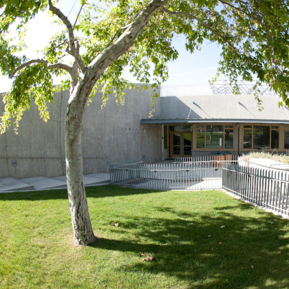
Lewis Hall


The Bachelor of Science in Geographic Information Systems (GIS) program prepares you to become a specialist capable of advanced skills in GIS through a curriculum of four key competencies: spatial data acquisition, spatial data management, spatial analysis, and information presentation. The B.S. GIS differs from the B.A. GIS in that the B.S. GIS offers more advanced skills in GIS without the exposure to interdisciplinary applications contained in the B.A. GIS.
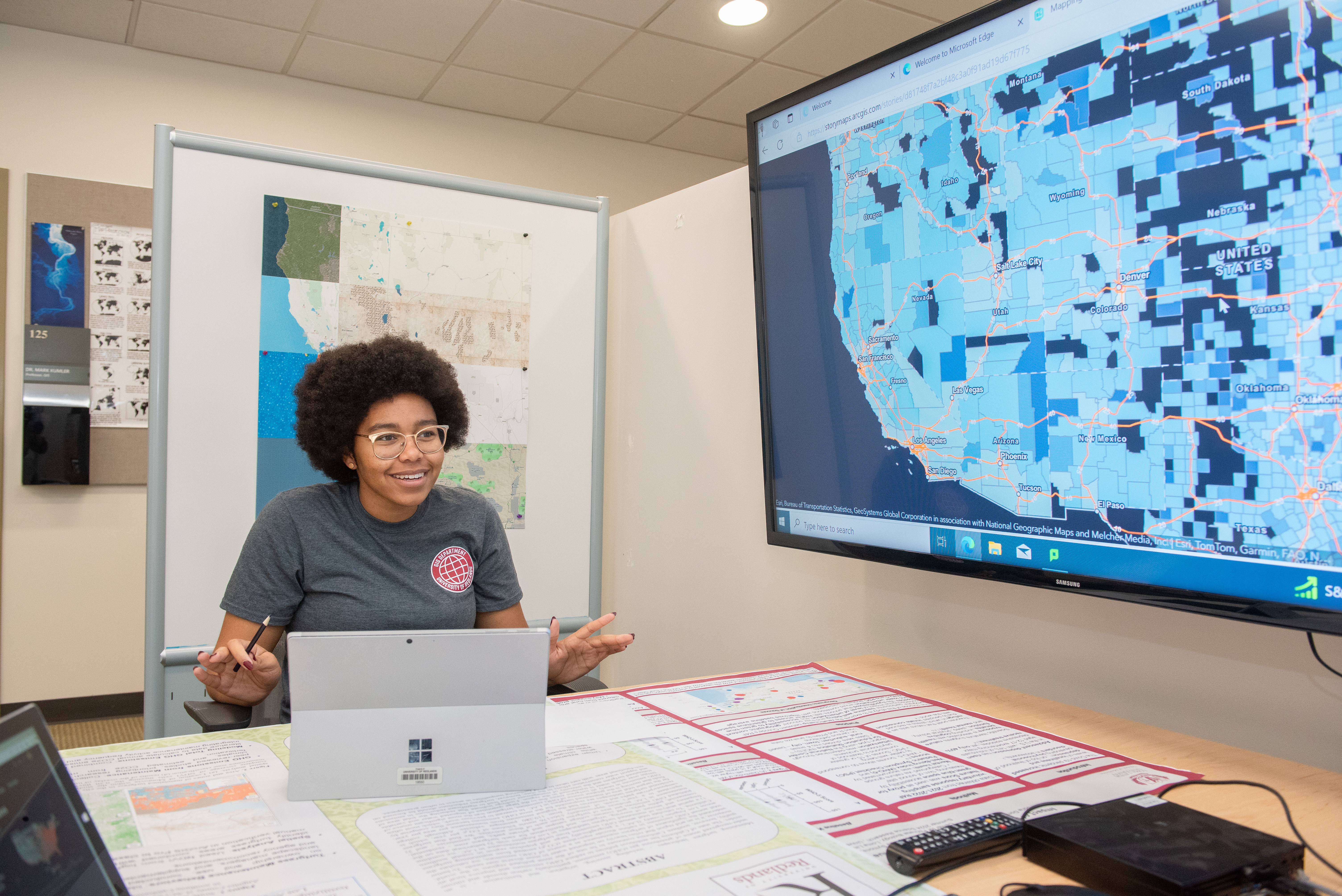
GIS is a spatial system that connects data to a map, integrating location data with all types of descriptive information. The demand for GIS professionals is increasing as GIS technology continues to yield benefits for virtually every field. With this degree from University of Redlands, you will harness the power of GIS to make maps that communicate, perform analysis, share information, and solve complex problems in the world around you. You can easily bridge your GIS skillset across many industries. GIS specialists are often employed by various levels of government, utilities, and in the private sector, including with our corporate partners at ESRI, the global leader in GIS headquartered locally in Redlands.
The Bachelor of Science in Geographic Information Systems (BSGIS) program teaches you to think, communicate, reason, and solve real-world problems spatially — through a curriculum of four key competencies: spatial data acquisition, spatial data management, spatial analysis, and information presentation.
Spatial data acquisition:
Working with spatial needs a sound understanding of how spatial data are represented and how they can be acquired using various methods. You will learn how to represent spatial data in coordinates, how to calculate coordinates from field measurements, how to use images to get GIS data, and how GPS is used in GIS on different platforms.
Data management:
GIS data has a large volume and every GIS system involves different types of data. You'll learn how to model real-world problems with spatial data and manage such data for efficient data creation, update, and retrieval for use.
Spatial analysis:
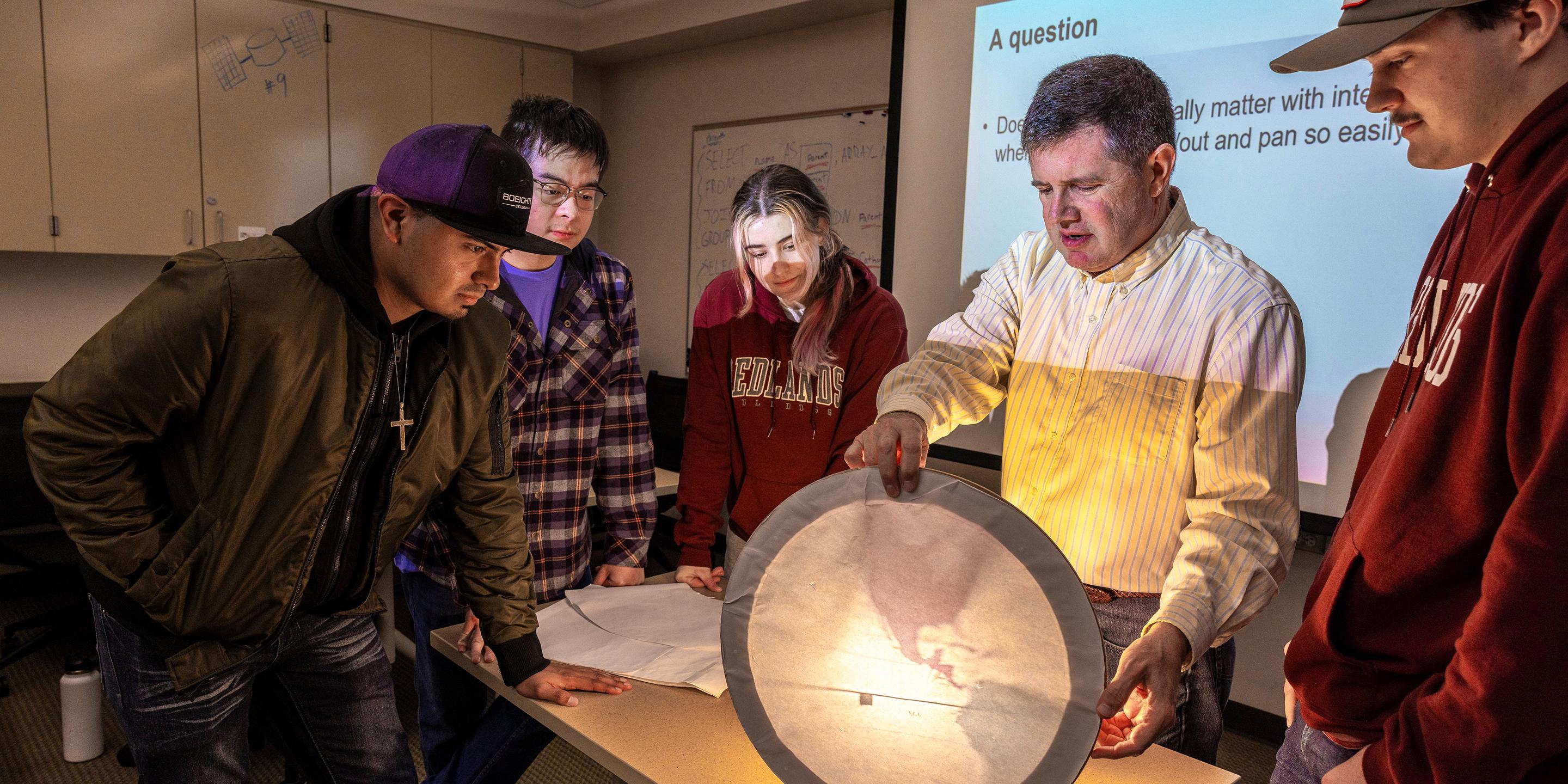
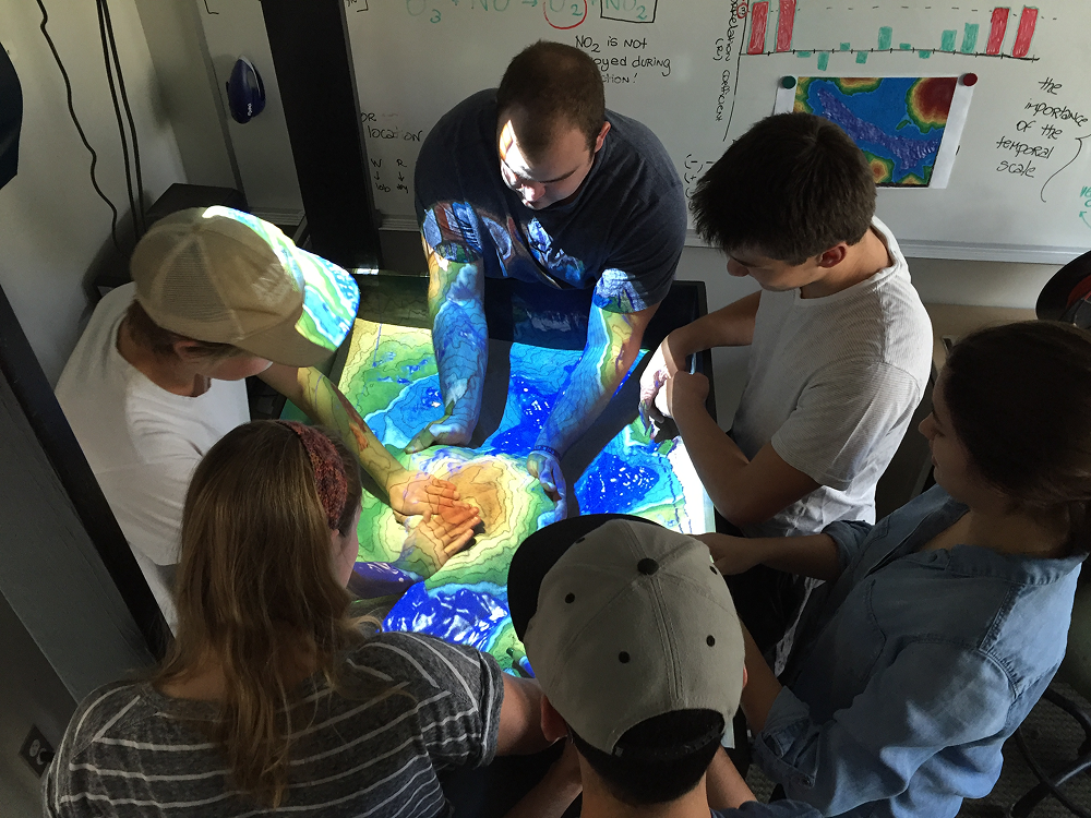
The core of GIS is spatial analysis. You will learn various concepts and knowledge of how to solve problems spatially. Upon a sound understanding of the concepts, you will learn how to use GIS technology to solve spatial problems, including customizing workflows under a GIS platform.
Information presentation:
You will learn how to represent spatial data under different contexts and understand the issues with the different representations.
Required
Electives
Math:
Or
MATH120: Brief Calculus
Or
MATH121: Calculus I
Early Action 1: November 1
Early Action 2: December 1
Regular Decision: January 15*

Lewis Hall


At Redlands, our students’ success is at the heart of everything we do. We offer experiential learning opportunities, but our CORE Four initiative takes that commitment to a deeper, intentional level. More than a set of experiences, the CORE Four is a framework for transformation. Learn more about how students can prepare for their academic journey.
Every Redlands faculty member is an active practitioner in their field. The classes they teach emerge from their unique research and practices, and they’re passionate about what they’re sharing. At Redlands, faculty are invested in and committed to your success.


Get in touch with our admissions team.