Search Redlands

Resources for

More Info
Program media masthead - GIS student walking past Lewis Hall

Bachelor of Arts in Geographic Information Systems

The Bachelor of Arts in Geographic Information Systems (GIS) program will prepare you for high-demand careers across a wide range of fields and disciplines. You will be provided with unrivaled GIS education through distinctive program features that include applied GIS technology, one-on-one mentorship, real-world problem solving, and a close relationship with Esri – the global leader in GIS, headquartered locally in Redlands.

Degrees Offered

Bachelor of Arts

Program Types

Undergraduate, Major

Mode of Study

On Campus

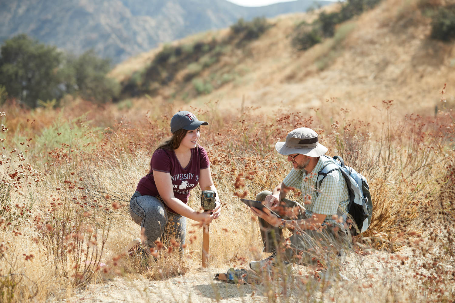
Media row - Geographic information science drone demo
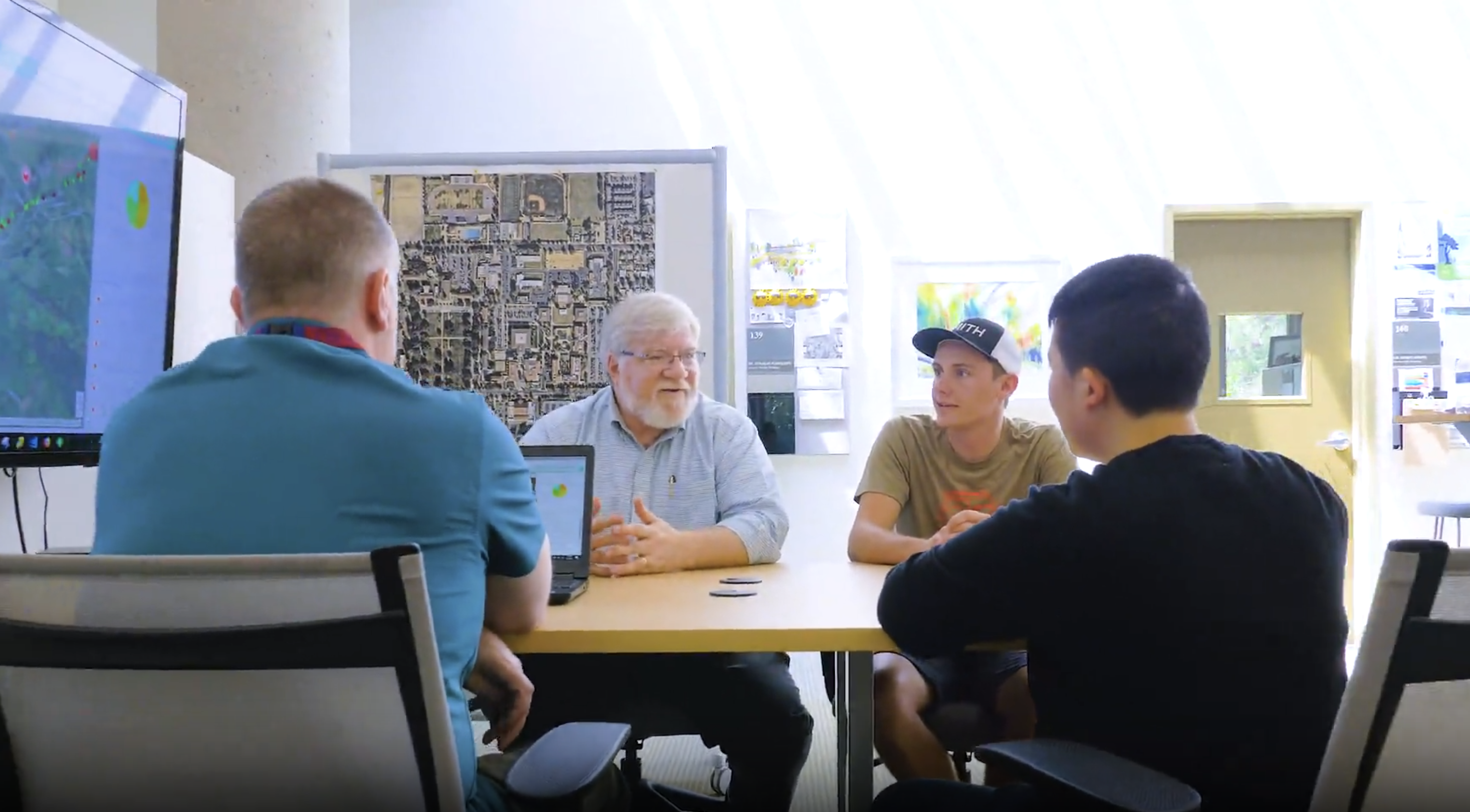
Media row - Undergraduate GIS program

What is a geographic information systems degree?

Geographic Information Systems (GIS) is a spatial system that connects data to a map, integrating location data with all types of descriptive information. The demand for GIS professionals is increasing as technology continues to yield benefits for virtually every field. Program curriculum focuses on applied, career-oriented skills through core classes that emphasize real-world problem-solving and a senior seminar that helps you identify and compete for GIS internships and jobs.

Why should you major in geographic information systems at Redlands?

Majoring in Geographic Information Systems at Redlands will prepare you to become a specialist capable of illustrating an understanding of spatial concepts across diverse applications in business, urban planning, emergency management, and much more. As you work toward harnessing the power of the subject, you will produce maps that communicate, perform analysis, share information, and solve complex problems in the world around you. You can easily bridge your GIS skillset across many industries. As a GIS professional, your career options will range in sectors including government, utilities, and many others.

Classes you'll take

As a student in the Bachelor of Arts in Geographic Information Systems (BAGIS) program,  which is an applied GIS program, you'll gain a firm foundation in GIS and its applications through a wide range of fields and disciplines. Through on-site instruction, you'll enjoy the one-on-one mentorship that distinguishes the University of Redlands as a leader in education. 

You'll learn through diverse case studies and applications of spatial tools, experience real-world problem-solving, and engage through the senior seminar that will help you identify and compete for GIS internships and jobs. 

GIS graduates are in high demand for businesses, non-governmental organizations, and various GIS-linked companies such as Esri, which, in addition to software engineers, need graduates with a knowledge of GIS who can also be employed in technical writing, marketing, education, and associated careers. 

Core Courses (two [2], both required) 

  • SPA/GIS 110 Introduction to Spatial Analysis & GIS  
  • SPA/GIS 210 Advanced Spatial Analysis & GIS 

Advanced Methods Course (choose two [2] from list): 

  • GIS 167 Python  
  • GIS 325 Spatial Data Acquisition 
  • GIS 326 Cartography (tentative alpha/number listing) 
  • GIS 411 Fundamentals of GIS 
  • SPA/GIS 425 Introduction to Remote Sensing and Photogrammetry  
  • GIS 467 Introduction to Programming for GIS 

Elective Courses (choose three [3] from list, at least two [2] electives must be above the 100 level and from a program outside a second major, if applicable, and an internship may be substituted for one elective class from the program of a second major):

  • BIOL 111 Marine Ecology
  • BUS 333 Labor in the Global Economy   
  • BUS 351 GIS and Spatial Analysis for Orgs 
  • CHEM 290 Environmental Chemistry Field Experience: Mile High Chemistry 
  • CHEM 311 Environmental Chem Field Exp: Environ Modeling   
  • CHEM 312 Advanced Environmental Chemistry 
  • ENGL 334 Representing the Holocaust 
  • EVST 213 Environmental Justice 
  • EVST 233 Environmental Geology 
  • EVST 250, 350 Environmental Design Studio I & II 
  • EVST 283 Mapping Animals 
  • EVST 323 Great Environmental Disasters 
  • EVST 333 Oceanography  
  • EVST 334 Environmental Hydrology 
  • EVST 343 Biodiversity   
  • EVST 351, 451 Panamapping: Geodesign to Conserve Rainforest   
  • HIST 227 Mapping African American History 
  • HIST 251 Mapping African History   
  • HIST 275 Mapping Metal: A Historical Geography   
  • REL 125 Introduction to World Religions   
  • REL 206 The 'Other' Jesus 
  • REL 308 Christian Scriptures 
  • REST 330 Mapping Race in the IE  
  • SOAN 305 Mapping People Mapping Place 
    SPA/GIS 100 Foundations of Spatial Thinking  

Senior Seminar

  • GIS 475 GIS Senior Seminar
Undergraduate application deadlines
Fall 2025 - First Year
November 15, 2024 - Early Action
Fall 2025 - First Year
January 15, 2025 - Regular Decision*
Fall 2025 - Transfer
March 1, 2025 - Regular Decision*
Note
*Applications will be reviewed on a rolling basis after the deadline based on capacity.
Apply Now

What you'll learn

You will learn how to apply spatial concepts and representations to data and information in an informed way via spatial projects.
You will learn how to evaluate the validity of arguments based on spatial information and approaches through written evaluations and/or presentations.
You will learn how to apply critical-thinking skills to solve spatial problems by generating and evaluating solutions through spatial project development.
You will learn how to communicate and implement spatial solutions for issues facing local and/or global communities.
View catalog to learn more

What you'll learn

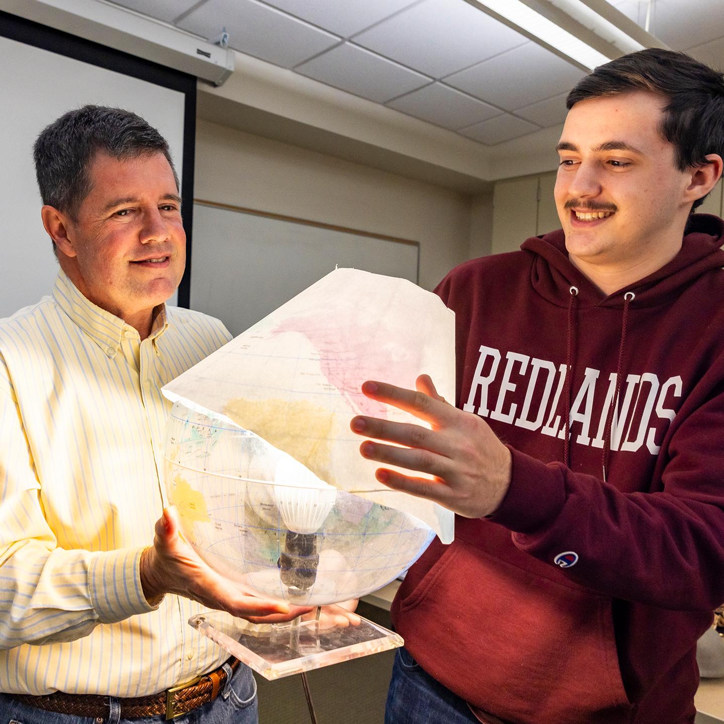
Media card - GIS professor teaching student in class

Graduates pursue careers in

As a GIS analyst, you will analyze spatial data to support decision-making and solve geographical problems.
As a cartographer, you will create detailed maps and visual representations of geographic information.
As an urban planner, you will utilize GIS technology to design and develop efficient and sustainable urban spaces.
As an environmental consultant, you will use GIS data to assess environmental impact and guide conservation efforts.

Graduates pursue careers in

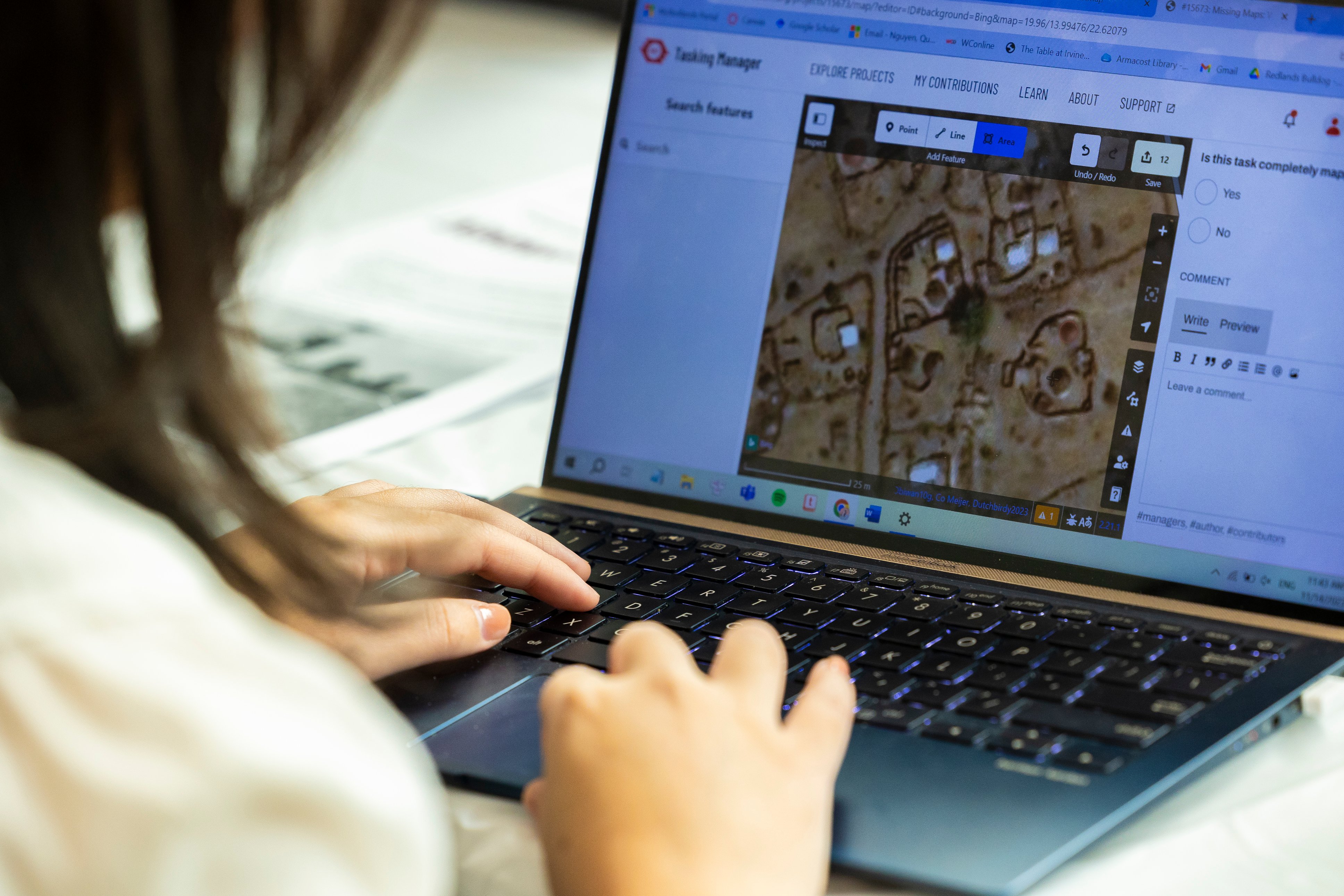
Media card - GIS student on laptop in class

Want to know more?

Get in touch with our admissions team.

Loading...