Find us on campus

Hornby Hall

The target audience for the Executive Master of Geographic Information Systems (EMGIS) includes, but is not limited to, mid- to senior-level managers and executives who aspire to lead organizations and units that use GIS in government, the private sector, and not-for-profit sector. Managers and executives will have a solid grasp of the technical, methodological, as well as strategic, management, and leadership aspects of GIS.
This program provides a blend of contemporary GIS knowledge and geospatial analytical skills along with in-depth knowledge of geospatial strategy and GIS project management.
These competencies enable GIS professionals to take on leadership positions such as Director of Geospatial Intelligence, Manager of Geospatial Business Analytics, and Technical Director, Enterprise GIS.
In Redlands' STEM-designated program, you'll learn cutting-edge geospatial technologies through one-on-one mentorship with faculty who are experts in their field. You'll explore how to use GIS to solve real-world problems and gain GIS knowledge and skills that will empower you to advance your career.
University of Redlands is close to the headquarters of Esri, the world leader in GIS technology. As a student in the Redlands EMGIS program, you'll have access to extensive Esri resources including instructor-led training, experienced Esri faculty, Esri library access, and professional Esri conferences.
To view specific classes, program requirements, and coursework information, visit the current university catalog.
Evaluates the ethical, social, and legal ramifications of the choices we make at different stages of data analysis and information privacy, and the impact of those choices on managerial decision-making.
Overview of value creation using GIS and geospatial analytics in various sectors and industries including government. Using a location value chain approach, the key role of GIS, geospatial data, and analytics in organizations are discussed, with emphasis on organizational mission, vision, strategy, and needs.
Focus on decision-making spanning various stages of location value chain in businesses employing GIS and location analytics. Emphasis on illustrations of location analytics project planning, development, and implementation in businesses. Topics include spatial decision support, location analytics to examine big data, social media, mobile technologies, and their spatial components.
Designed to reflect contemporary trends in GIS, its applications, and emerging GIS technology. May be repeated for degree credit, with different topics, for a maximum of 4 credits.
Designed to reflect contemporary trends in GIS, its applications, and emerging GIS technology. May be repeated for degree credit, with different topics, for a maximum of 4 credits.
Students will be required to visit the Redlands campus twice during the duration of the program.
Students will learn project management skills involved in a GIS project, including developing a project plan, conducting systems analysis and design, and executing a GIS project through construction and deployment. Course assignments correspond to to each phase of a GIS project.
Focus on GIS strategy for the organization and enterprise-wide deployment of GIS. Topics include IT framework for GIS, alignment of organization-GIS-IT strategies, GIS investments, and competitive advantage. Communicating GIS strategy to various stakeholders, along with benefits and outcomes of GIS projects are emphasized.
Culmination of the EMGIS program with focus on synthesis and application of knowledge gained for an applied project. Emphasis on conducting needs assessment, visioning, development and prototyping of GIS strategies for competitive advantage spanning the organizational value chain along with management principles for GIS transformation.
Priority 1 Deadline: January 15
Priority 2 Deadline: June 1
Priority 1 Deadline: October 1
Priority 2 Deadline: December 1
Priority 1 Deadline: February 1
Priority 2 Deadline: April 1

Hornby Hall
Admissions - Graduate
Jan
08
Admissions - Graduate
Feb
19
Admissions - Graduate
Mar
12
Admissions - Graduate
Apr
16
Admissions - Graduate
May
07


Esri’s close proximity to University of Redlands and our shared focus on problem-solving have fostered partnerships in academics, research, employee development, and community programs:
University of Redlands is forging strong partnerships with universities, school districts, and agencies – globally and locally.
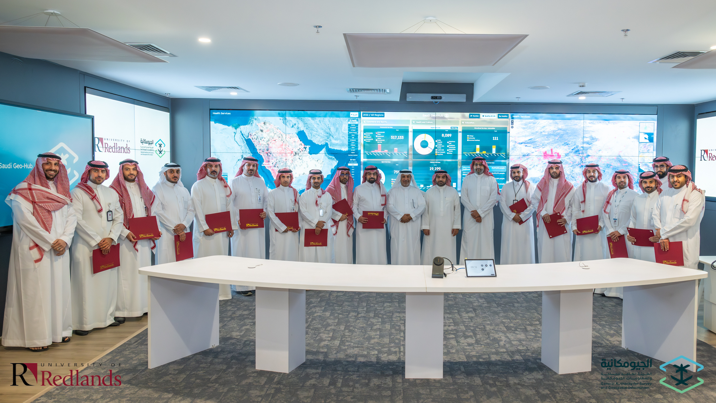
A recent milestone is the creation of a new Executive Master of GIS program, designed in partnership with Esri, and delivered to senior executives of a geospatial regulatory agency. Specialized courses were also designed and delivered at the Redlands campus to visiting cohorts comprised of data analysts, survey engineers, database developers and programmers, system analysts, GIS analysts, cartographers, and geophysicists.
Locally, we are designing articulated courses for high school students in the Inland Empire to explore GIS and its intersections with data science and AI for applied community learning and fostering college and career readiness as well as skills development.
Online (synchronous) with two in-person residencies
Meet 1 night a week
14 months, 28 credits
STEM-designated
Mid- to senior-level managers and executives who aspire to lead organizations and units that use GIS in government, the private sector, and not-for-profit sector.
Advances GIS professionals to take on leadership positions such as Director of Geospatial Intelligence, Manager of Geospatial Business Analytics, and Technical Director, Enterprise GIS.
Get in touch with our admissions team.