Steven Arciniega


“Very few problems don’t have a spatial component. GIS isn’t just for mapping landscapes—it’s for understanding the world.”
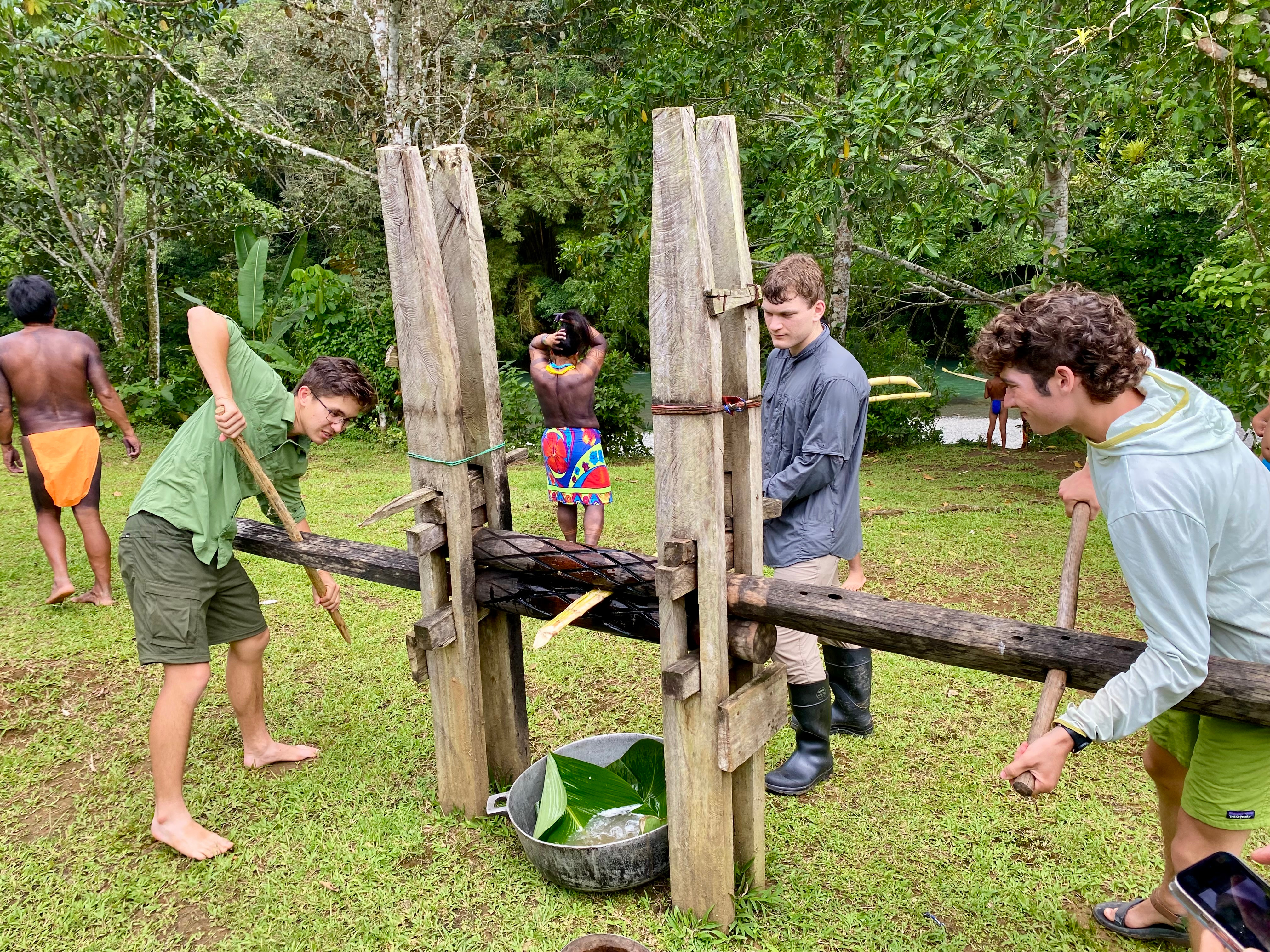
Amid the Panamanian rainforest, Keegan Moore ’25 stood ankle-deep in sediment, clearing storm debris from a village water intake system. It wasn’t where the physics and spatial studies major expected his May Term course would take him, but the moment embodied exactly what drew him to Redlands—and to Professor Dan Klooster’s PanaMapping program in the first place—an interdisciplinary education that makes a real-world impact.
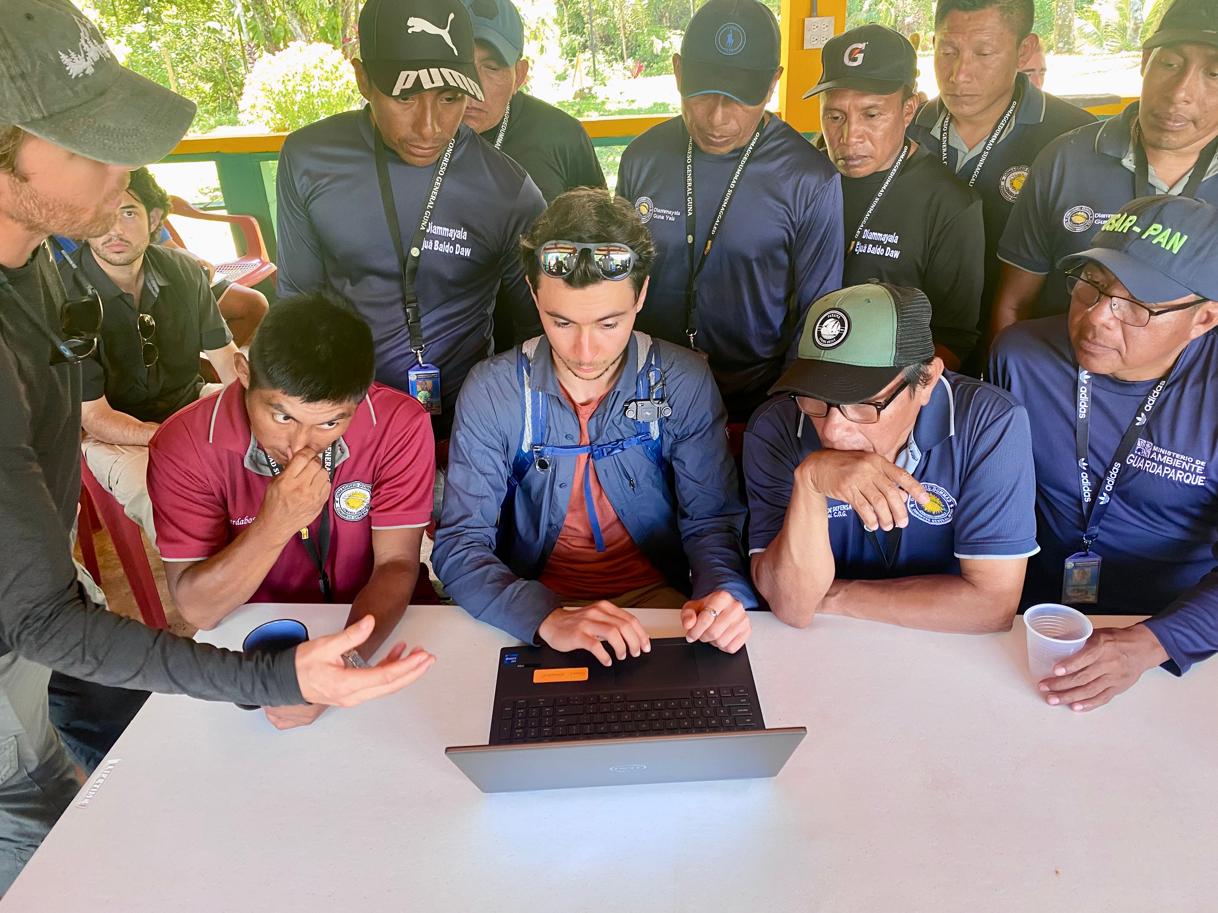
Klooster, who holds the Douglas B. and Paulette Marshall Chaffee Endowed Chair in Science for Environmental Studies at University of Redlands, has led the field-based Panamapping program in Panama for more than a decade. His students have used Geographic Information Systems (GIS) to map deforestation, monitor forest regrowth, and more recently, fly drones in partnership with Indigenous communities seeking to patrol and protect their land.
“GIS is an essential tool for environmental studies,” Klooster said. “It empowers students to go out into the world, ask and pursue interesting questions, and do things with their liberal arts education. It is also an excellent vehicle to lead students to think in an integrated way, which is essential for environmental studies.”
Along with his classmates including computer science major Ian Malcom ’25, Moore had the unique opportunity to support two Indigenous groups during this year’s trip. In one case, the Guna people of the Guna Yala Comarca, invited students to demonstrate drone capabilities for environmental monitoring. Klooster’s team helped map a deforested area recently reclaimed by the community, and surveyed a nearby river valley suspected of illegal gold mining. In the other, the Emberá of the village of Emberá Purú, asked for assistance in mapping a new water source for their village—a project that combined fieldwork, GPS, and spatial analysis.
“We hiked to a site that villagers had pointed out to us, gathered data, and used ArcGIS tools to compare it to their existing system,” Moore said. “It turned out the new location had a much larger catchment area, so we made a map and sent it back to them.”
For Malcom, the trip underscored Klooster’s approach to interdisciplinary teaching, marrying academic work with fieldwork and cultural immersion.
“It made my time in Panama a great learning experience technically and sparked a renewed interest in traveling beyond the United States and Canada,” Malcom said. “It also reinforced my commitment to being a GIS developer, having seen such an effective use of GIS firsthand. GIS has a huge amount to offer across any discipline that interacts with the real world, including business, and U of R recognizes that.”


Building on years of data collected by former students, Malcom and Moore contributed to a growing geodatabase that the Geoversity and the Mamoni Valley Preserve, a long-time partner of Redlands, still relies on for conservation and land management.
“This experience is iterative—Panama has become a living lab for us,” Klooster said. “GIS allows students to make things that subsequent students use. And with tools like Esri web applications, we can now share interactive maps with our community collaborators, even those with limited internet access or no GIS training.”
Moore, who initially planned to pursue engineering, credits outdoor programs at Redlands with deepening his connection to nature and sparking a shift toward environmental science. PanaMapping, he said, helped him see how spatial thinking and data can lead to better decisions on the ground.
“It allows you to strategically plan field work and reason where the most effective work can be done,” he said. “For instance, I can run a tool that shows which area intakes more water and locate an effective water basin to help those in need.”
That connection drives Klooster’s work, too, and shapes his approach to ethical mapping.
“We only map Indigenous territories by request,” he said. “Mapping is never neutral. It represents space, and space is where people live.”
He’s quick to point out that this kind of field-based GIS work wouldn’t be possible without support from the University’s Institute for Geospatial Impact, technical staff like David Smith, and the depth of Redlands’ GIS course offerings.
For students curious about GIS but unsure if it fits their major, Moore offers simple advice: try it.
“Very few problems don’t have a spatial component,” he said. “GIS isn’t just for mapping landscapes—it’s for understanding the world.”
Through PanaMapping, Bulldogs are discovering an exciting, interdisciplinary opportunity that connects Environmental Studies, GIS, and Study Away. Learn more about how these programs come together at Redlands.
