University of Redlands
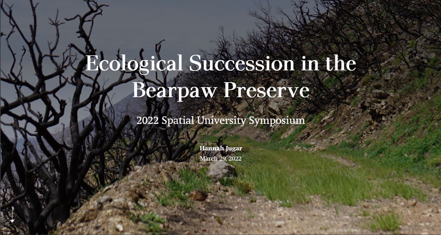
The resilience of an ecosystem lacks recognition after an environmental disruption occurs. This Story Map analyzes the ecological succession in Bearpaw Preserve in the San Bernardino National Forest following the 2020 El Dorado Fire. Past habitat mens570uration with my ecology class during months after the fire led to my continued research on the return on plants and wildlife in the area. Documenting this succession was successful through motion detector cameras and remote sensing from the Sentinel-2 satellite. Geographic information system (GIS) was incorporated to geographically display vegetation data collected from the satellite scans. The development of this Story Map required the application of teachings from my ecology and GIS courses to perform fieldwork and draw conclusions on succession timelines, habitat remediation, and sustainability